Sattva Hill View Location
Kanakapura Road at Badamanavarathekaval, South Bengaluru (560083), close to the Art of Living International Center Exact address, distances and connectivity below.

Sattva Hill View is strategically located on Kanakapura Road at Badamanavarathekaval, South Bengaluru (560083), close to the Art of Living International Center. Kanakapura Road (NH-209) is one of the city's fastest-growing southern corridors, with the NICE Ring Road just 3 km away, connecting you smoothly to the rest of the city.
The address is well linked by Metro, road and bus. The operational Silk Institute Metro on the Namma Metro Green Line is 3.7 km away, the nearest bus stop at Shanimahathma Temple is only 180 m, and Kempegowda International Airport is about 58 km along a network of ring roads and expressways.
Sattva Hill View Connectivity
Road Connectivity

Sattva Hill View is served by Kanakapura Main Road (NH-209, also SH-3), the arterial route that connects South Bengaluru to the Kanakapura belt and, through the NICE Road link, to the wider city. The NICE Road link is about 3 km away, and the Outer Ring Road at Silk Board is roughly 18.5 km away, opening routes towards Electronic City, Koramangala and the Outer Ring Road IT belt.
Metro Connectivity
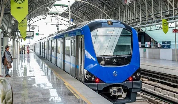
Silk Institute Metro Station is 3.7 km away, about 6 minutes by car. It is the southern terminus of the Namma Metro Green Line and is fully operational, giving a direct rail link north through Jayanagar and Majestic. Four more operational Green Line stations follow close behind:
| Metro Station | Distance | By Car | By Bike | Status |
| Silk Institute | 3.7 km | 6 min | 6 min | Operational (Green Line terminus) |
| Thalaghattapura | 4.7 km | 8 min | 8 min | Operational |
| Vajarahalli | 5.4 km | 10 min | 10 min | Operational |
| Doddakallasandra | 6.7 km | 14 min | 13 min | Operational |
| Konanakunte Cross | 7.9 km | 16 min | 16 min | Operational |
A further southern extension towards Harohalli has been proposed but is not yet sanctioned, so it is best treated as future optionality rather than a committed line.
Rail Connectivity
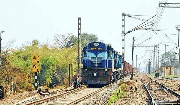
KSR Bengaluru City Railway Station at Majestic, the city's main terminus, is about 21 km north and is reachable by a single Green Line metro ride from Silk Institute.
Bus Connectivity
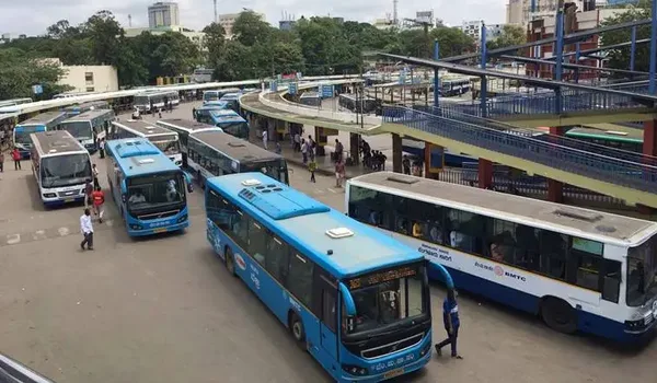
The nearest bus stop is Shanimahathma Temple, just 180 m from the gate, with Kuppareddy Kere about 600 m away. Frequent BMTC services on the 211, 213 and 214 routes connect the corridor to Banashankari TTMC, KR Market, Konanakunte Cross and Kempegowda International Airport (route KIA-5D), while services from Kuppareddy Kere run south to Harohalli, Bidadi and the wider Kanakapura belt.
Air Connectivity

Kempegowda International Airport is about 58 km away, roughly 90 minutes to 2 hours by road depending on traffic, via NICE Road and the Outer Ring Road.
Major Tech Parks and Office Hubs near Sattva Hill View
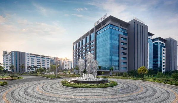
South Bengaluru's employment hubs on and around Kanakapura Road, Bannerghatta Road and Electronic City are within an easy drive. Key work destinations close by include:
| Tech Park | Distance | By Car | By Bike |
| Purva Zentech Business Park | 8.2 km | 18 min | 17 min |
| Global Village Tech Park | 12.5 km | 30 min | 28 min |
| IBC Knowledge Park | 16 km | 52 min | 45 min |
| Kalyani Magnum Tech Park | 17.5 km | 44 min | 38 min |
Electronic City Phase 1, one of Bengaluru's largest IT clusters, is about 21 km away, roughly 40 to 55 minutes off-peak via NICE Road.
Colleges and Universities near Sattva Hill View
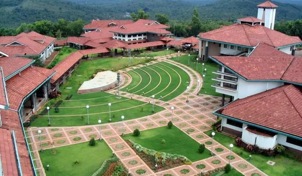
The corridor is well served by engineering, management and specialised colleges, several of them within a few kilometres of the project:
| College / University | Distance | By Car | By Bike |
| Jyothy Institute of Technology (JIT) | 1.7 km | 5 min | 5 min |
| Abhaya Group of Institutions | 2.9 km | 7 min | 7 min |
| Dayananda Sagar Academy of Technology & Management (DSATM) | 3.2 km | 5 min | 5 min |
| Sri Sri College of Ayurvedic Science & Research | 4.3 km | 10 min | 10 min |
| Yellamma Dasappa Institute of Technology | 6.5 km | 14 min | 14 min |
| KS School of Engineering & Management (KSSEM / KSIT) | 6.7 km | 15 min | 14 min |
| City Engineering College | 7.9 km | 18 min | 17 min |
| APS College of Engineering | 8.3 km | 18 min | 17 min |
Hospitals near Sattva Hill View

St. John's Hospital at Brigade Meadows, a multi-specialty facility, is under 3 km away and is the closest major hospital. Fortis Hospital on Bannerghatta Road, one of the city's leading tertiary-care centres, is about 15 km. Nursing homes and clinics along Kanakapura Road cover everyday medical needs.
| Hospital | Distance |
| St. John's Hospital, Brigade Meadows | under 3 km |
| Fortis Hospital, Bannerghatta Road | 15 km |
Schools near Sattva Hill View

Families are well covered, with reputed schools a short drive along and off Kanakapura Road:
| School | Distance | By Car | By Bike |
| The Valley School (KFI) | 3.6 km | 7 min | 7 min |
| Ryan International Academy | 3.7 km | 9 min | 8 min |
| Sri Sri Ravishankar Vidya Mandir (SSRVM) | 4.5 km | 10 min | 10 min |
| Edify School | 7.2 km | 13 min | 13 min |
Gopalan International School (4.5 km) and Delhi Public School South (6.2 km) are also within a short drive.
Shopping and Entertainment near Sattva Hill View

The Arcade at Brigade Meadows, about 2.8 km away, covers day-to-day retail, dining and a supermarket, while the city's larger malls are a comfortable drive north:
| Mall / Centre | Distance | By Car | By Bike |
| Forum Mall South Bengaluru | 7.9 km | 16 min | 16 min |
| Gopalan Promenade Mall | 11.8 km | 26 min | 31 min |
| Royal Meenakshi Mall | 13.2 km | 25 min | 25 min |
Kanakapura Road as a Residential Location

Kanakapura Road is one of South Bengaluru's most sought-after residential corridors, valued for its greenery, cleaner air and calmer pace while staying firmly connected to the city. The operational Green Line metro, the NICE Road link and the Outer Ring Road keep central Bengaluru, Electronic City and the airport within reach, and the presence of the Art of Living International Center, The Valley School and large tracts of protected green land gives the belt an unusually open, low-rise character. Schools, colleges, hospitals and malls are already established nearby, so daily life stays convenient. For Bengaluru, Karnataka buyers, the corridor combines a green setting with steadily improving connectivity, a rare pairing in the city's fast-growing south.
Key Distances from Sattva Hill View
| Landmark | Distance / Time |
| Silk Institute Metro (Green Line) | 3.7 km / 6 min |
| Art of Living International Center | 1.3 km |
| Shanimahathma Temple bus stop | 180 m |
| NICE Ring Road | 3 km |
| Outer Ring Road (Silk Board) | 18.5 km |
| Electronic City Phase 1 | 21 km / 40-55 min |
| KSR Bengaluru City Railway (Majestic) | ~21 km |
| Kempegowda International Airport | ~58 km / 90 min-2 hr |
Why Sattva Hill View's Location Adds Long-Term Value
- Operational metro on the doorstep: the Silk Institute Green Line terminus (3.7 km) offers a congestion-free ride into central Bengaluru, with four more stations within 8 km.
- A protected western outlook: the towers face the institutionally-held Art of Living hills about 1.3 km away, an aspect unlikely to be built out.
- A corridor on the rise: Kanakapura Road (NH-209) links to NICE Road, the Outer Ring Road and Electronic City, steadily improving southern connectivity.
- Ready social infrastructure: schools, colleges, hospitals and malls are already established within a short drive, supporting steady end-use and rental demand.
Frequently Asked Questions
1. Where is Sattva Hill View located?
On Kanakapura Main Road at Badamanavarathekaval, Bengaluru South, Karnataka 560083, close to the Art of Living International Center (about 1.3 km) at roughly the 21 km mark of the corridor.
2. Which is the nearest metro station?
Silk Institute Metro on the Namma Metro Green Line is 3.7 km away, about 6 minutes by car. It is the operational southern terminus of the line, giving a direct ride into central Bengaluru.
3. How far is Kempegowda International Airport?
About 58 km, roughly 90 minutes to 2 hours by road depending on traffic, via NICE Road and the Outer Ring Road.
4. What is the nearest railway station?
KSR Bengaluru City Railway Station at Majestic, the city's main terminus, is about 21 km north and is reachable by a single Green Line metro ride from Silk Institute.
5. Are schools and hospitals close by?
Yes. The Valley School (3.6 km) and Ryan International Academy (3.7 km) are near, as is St. John's Hospital at Brigade Meadows (under 3 km), with Fortis on Bannerghatta Road about 15 km.
6. How far are the tech parks?
Purva Zentech Business Park is 8.2 km and Global Village Tech Park 12.5 km, while Electronic City Phase 1 is about 21 km, roughly 40 to 55 minutes off-peak via NICE Road.